
Ring of Dusias Lake
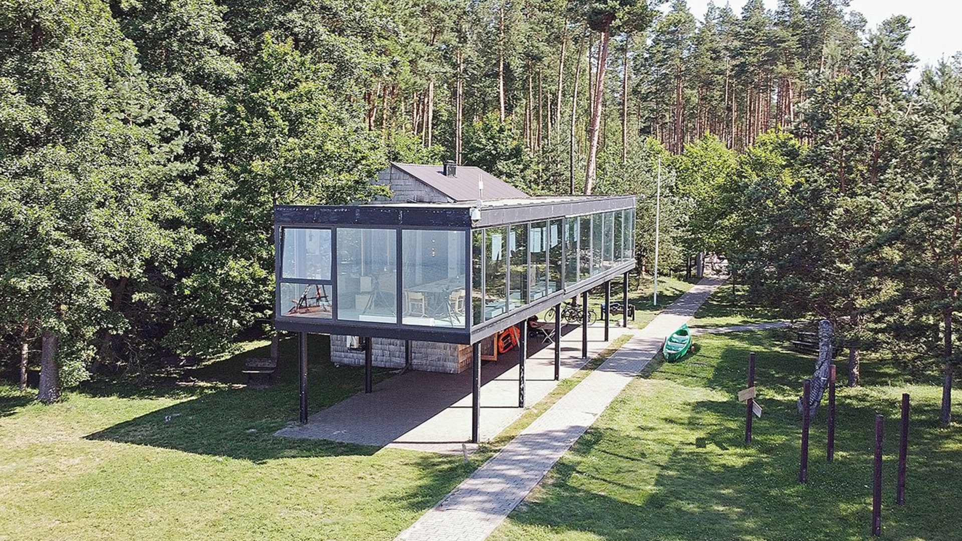
The start and end of the route: Metėliai Regional Park Directorate
Route length: 25 km or 34 km
Duration of the trip: About 3 hours.
Difficulty of the route: Medium
Places to visit:
- St. Chapel of the Virgin Mary (Crosses),
- Giraitė mound,
- Verstamin mounds,
- Prelomčiška Mound,
- snow,
- Church of the Transfiguration of Christ in Metelei
The route is marked:

Additional information about the route is provided by:
VšĮ Lazdijai tourism information center
Vilniaus st. 1 LT-67106 For sticks
http://www.lazdijai-turizmas.lt
email p.: [email protected]
Phone: +370 318 51 160, +370 318 66 130
Metelii Regional Park Group
https://saugoma.lt/lt/territorios/veisieju-regioninis-parkas#apie
Phone: +370 620 65 819


Reviews