
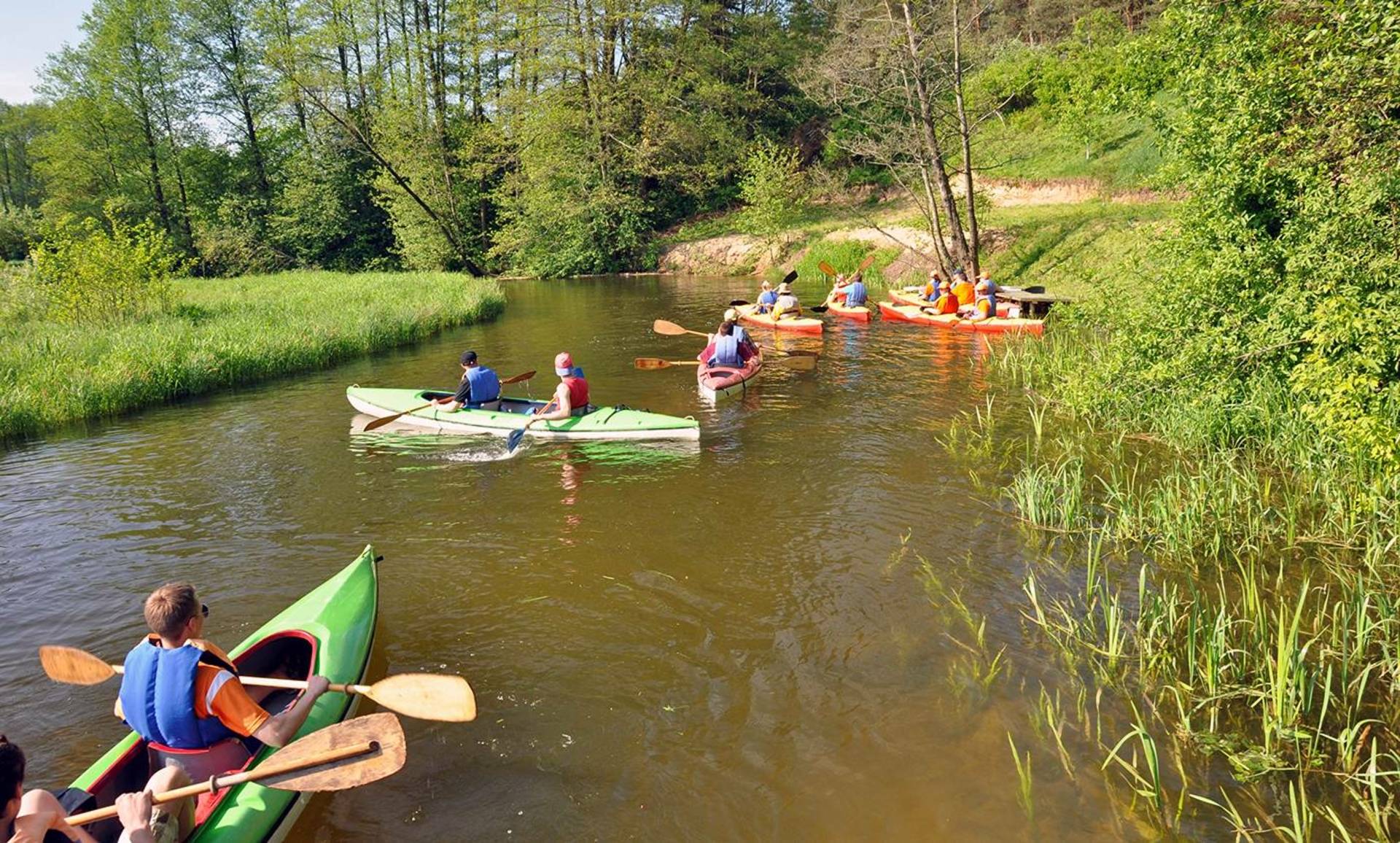
"White Duck River" route
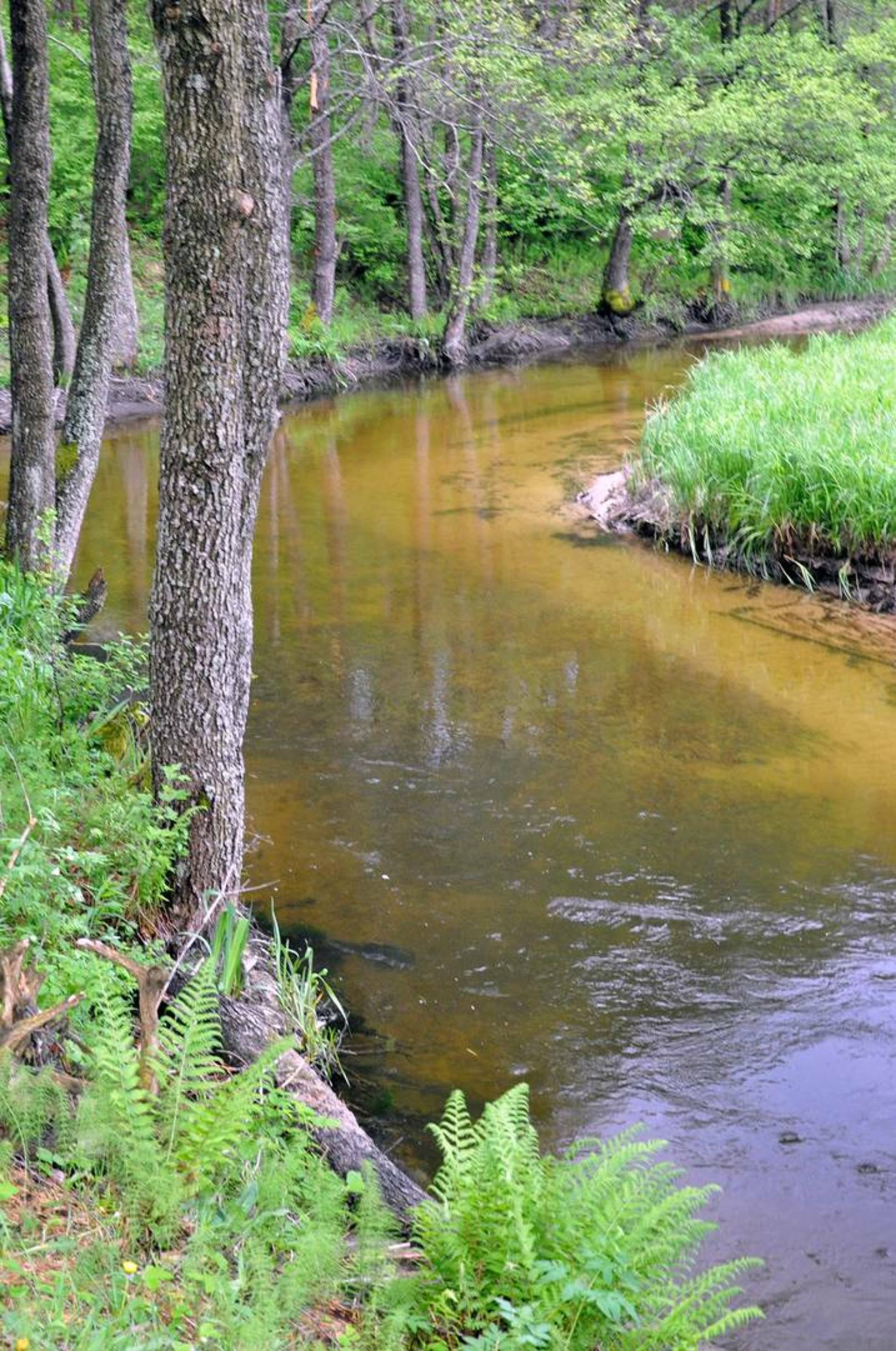
Baltoji Ančia is a river in southern Lithuania, flowing out of Lake Ančia in Lazdijai district. weekly In the territory, it flows south past Kapčiamiestis, then flows into the Nemunas right next to the border with Belarus. The length of the White Duck is 60 km, the length of the kayaking route is about 30 km. Tributaries: Neviede, Seira, Nieda. 4 km from the mouth, the bed is dammed, and a hydroelectric power plant has been built. At the confluence of the Baltosios Ančias and Nemunas rivers is the Baltosios Ančias herpetological reserve.
1. Jezdas is a village in the territory of the Veisiei regional park, 5 km from Kapčiamiestis, at the end of Lake Ančias, where the Baltosios Ančias river flows and the kayaking route begins.
2. Kapčiamiestis – a town in the municipality of Lazdijai district, 10 km northeast of the border with Poland, at the confluence of the Baltosios Ančias and Niedas rivers, located in the 16th century. at the beginning in 1516 king Žygimantas the Elder gifted the scribe Sidoras Kapočiis with a large area of the forest. According to the custom of those times, both the area and the mansion that was located here were named after the owner. To the south of the town stretches a huge 24 thousand. ha Kapčiamiestis forest - right up to the border with Poland (in the west) and Belarus (in the south). The town of Kapčiamiestis is famous for the fact that Emilija Pliaterytė, a participant in the uprising, is buried here. A museum has been established in her honor, which can be visited by kayak.
3. Crossing (bridge) - The track is very winding, there are many fun rapids where the river current accelerates, you will have to pass through road tunnels crossing the road several times, as you swim further, at the bridge where the Nieda flows in, the width of the river increases.
4. The ancient settlement called Pinčiaragius. Near Kapčiamiestis, you can visit a 2.7 ha stone age settlement, which is also called Palangėle or Pinčiaragius. According to the legend, the devil Pinčiuk deliberately bothers those who climb the shores, destroying them. It is possible to stay in this place for a longer period of time. The sand of the quiet corner of the beach, the rustle of the pine trees will revive your strength for the further journey.
5. Volskai - a village in the southern part of Lazdijai district, 4 km southeast of Kapčiamiestis, in Kapčiamiestis forest, near Baltosios Ančias. Access via the forest road branching off from the Kapčiamiestis-Sapackinė road.
6. Macevičiai - a village by the Baltosios Ančias river, where the Baltosios Ančias water dam begins. In this village, the Veisiei branch of the State Forestry Department has established several recreation areas.
7. Baltosios Ančas water power plant - 1955. the 450-kilowatt Baltosios Ančia hydroelectric power plant was built.
8. The village of Sventiansk is located on the border of Belarus. Here the Baltoji Ančia flows into the Nemunas. In this section of the border, persons must have identification documents. The water tourism route ends in Sventijansk village. Further swimming is not possible.
Reviews