
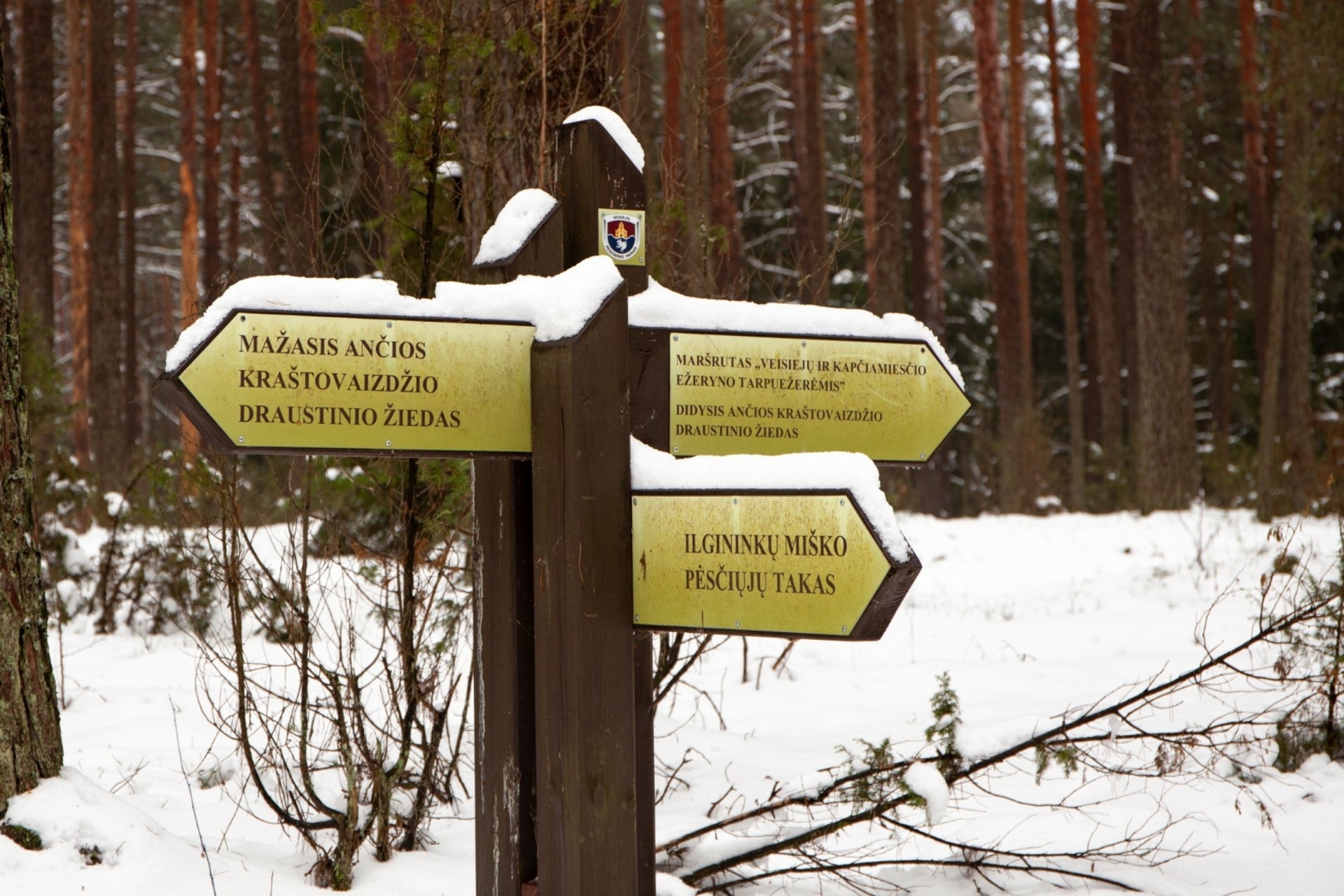
Ilgininkai Forest Pedestrian Path
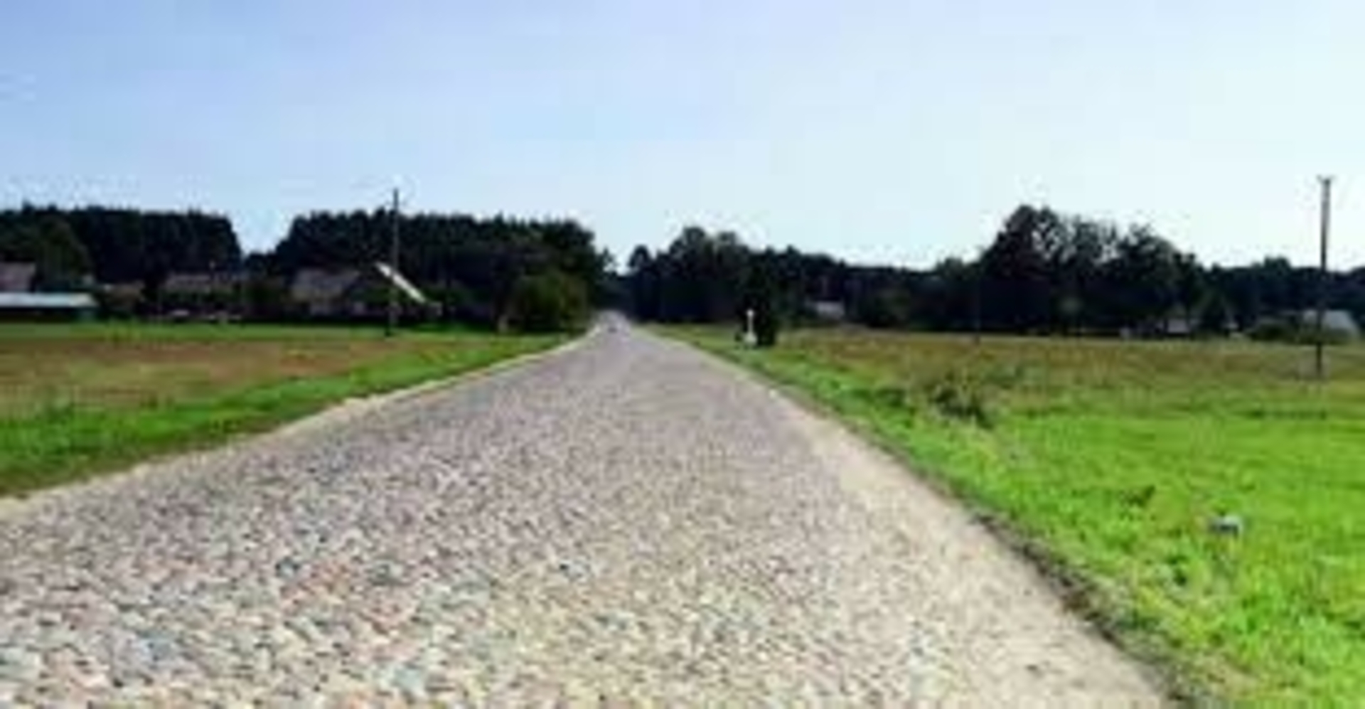
The footpath extends for about 4.70 km, leads through the Ilgininkai forest, entering the territory of the Ančias landscape reserve. On the trail, the large information stand has been renovated, 4 small stands have been installed, 3 additional signs have been erected, directional signs have been updated, and a rest area has been created where you can rest while walking along this trail. The stands provide information about the birds living in the forest, the seed stand, pine pruning and logging.
More information on the Veisiei regional park page: https://saugoma.lt/lt/objektai/objektai-ilgininku-misko-pesciuju-takas
Veisiei regional park group
https://saugoma.lt/lt/territorios/veisieju-regioninis-parkas#apie
[email protected] , [email protected]
tel. +370 662 44653, +370 318 56 234
VšĮ Lazdijai tourism information center
Kaunas str. 6A, LT-67128 Lazdijai
www.lazdijai-turizmas.lt
email p.: [email protected]
Tel. +370 318 51881
Reviews