
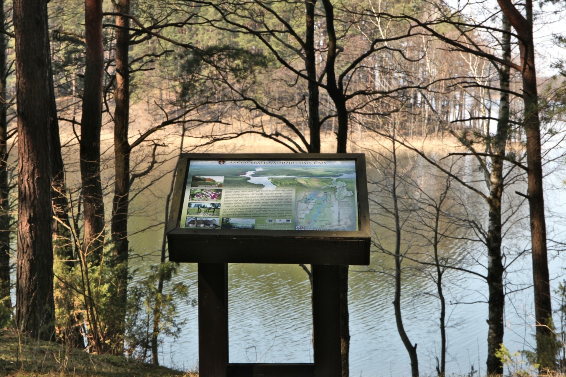
Pedestrian path on the shore of Ančias lake
The circular route extends for about 4 km. Ahead , the pedestrian path stretches near the largest and most beautiful Ančias lake in the Veisiei regional park, and back along forest paths and roads. ( * You can also travel back on the gravel road from Barčiai to Veisiej ). The route is marked with signs of the Veisiei Regional Park, there are also several information stands, and additional trail marking is a green circle.
A walk along the shore of Lake Ančias will be a great opportunity to get acquainted with the biological diversity of the forest - sand carnation, hemp camber, common dwarf and other forest goods.
More information: https://saugoma.lt/lt/objektai/objektai-pazintinis-siaurines-ancios-ezero-pakrantes-takas
You can also book a guided tour of the nature trail. https://veisiejuparkas.lrv.lt/uploads/veisiejuparkas/documents/files/Lankytoju%20centro%20paslaugos/Isakymas%20del%20paslaugu%20ikainiu%2B.pdf
VšĮ Lazdijai tourism information center
Kaunas str. 6A, LT-67128 Lazdijai
www.lazdijai-turizmas.lt
email p.: [email protected]
Tel. +370 318 51881
Reviews